
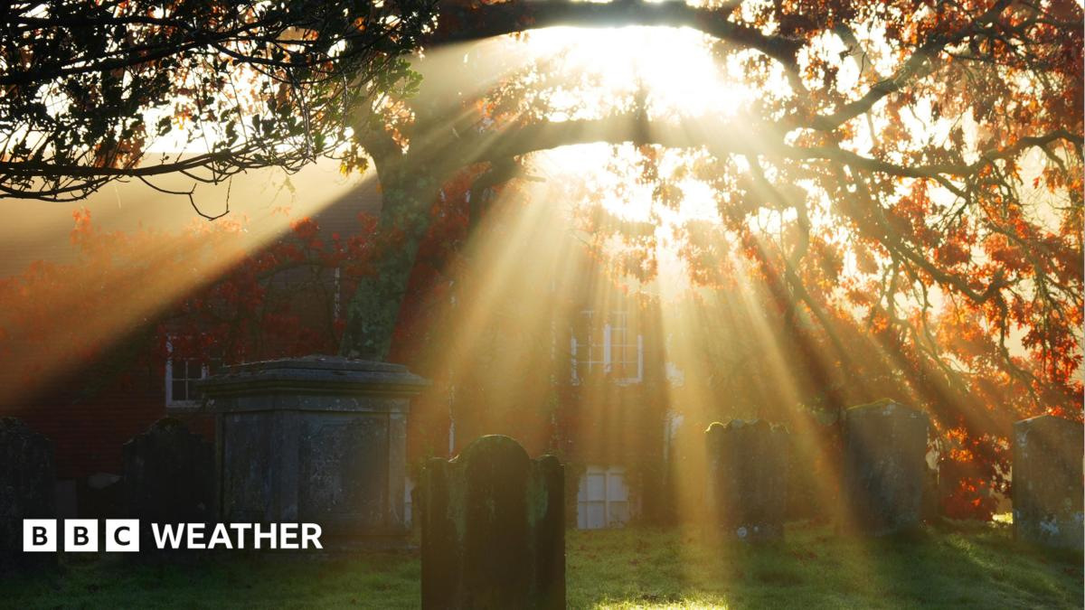
The United Kingdom is poised to experience a significant period of dry weather at the start of November, with meteorologists predicting ten consecutive days without substantial rainfall. This shift comes after a particularly wet week in early October, which was identified as the wettest in two years across the country. The change in weather patterns is attributed to the development of high pressure systems over the UK, which are currently stabilizing atmospheric conditions and suppressing cloud formation.
Weather Patterns and Atmospheric Shifts
High pressure systems are known to create stable, dry conditions by suppressing the formation of clouds and precipitation. According to the BBC News Science section, a strong high-pressure system has developed over the UK, particularly in the central and southern regions. This system is expected to persist through the early part of November, leading to a prolonged period of settled weather.
The presence of high pressure is linked to descending air currents that inhibit the development of storm systems and moisture-laden clouds. As air descends, it warms and dries, reducing the likelihood of rain. This atmospheric mechanism explains the current forecast of minimal rainfall across most of England, Wales, and southern Scotland.
Historical weather data from the UK Met Office shows that such high-pressure dominance is not uncommon during autumn months, especially when the North Atlantic pressure systems shift. However, the intensity and duration of this current system are notable, particularly given the recent context of a record-breaking wet week.
Context: The Wettest Week in Two Years
The week of October 20 to 26 saw rainfall totals across the UK that exceeded previous records, with some regions recording over 100 millimeters of precipitation. This was the wettest week in two years, according to BBC News, and it was driven by a combination of low-pressure systems and increased moisture transport from the North Atlantic.
During that period, parts of northern England and the Midlands experienced persistent rain, with some areas seeing rainfall over 150 millimeters. The heavy downpours were particularly intense in the early part of the week, with localized flooding reported in rural areas and urban catchments. The Met Office issued a yellow weather warning for several regions, highlighting the risk of waterlogging and infrastructure strain.
While the current high-pressure system is expected to bring a break from this pattern, the contrast between the two events underscores the volatility of the UK’s weather. The rapid transition from a wet week to a dry spell illustrates how atmospheric conditions can shift dramatically over a short timescale.
Forecast and Regional Variations
The BBC News report indicates that the dry spell is expected to last for approximately ten days, beginning on November 1 and continuing through at least November 10. However, the forecast does not provide specific regional breakdowns, and no official probability of precipitation has been issued for individual areas.
Scotland, particularly the northern and western regions, may experience slightly more variability due to the influence of the North Sea and Atlantic weather systems. While the overall trend is dry, some areas could see scattered showers, especially during the early morning hours or under changing wind patterns.
England and Wales are projected to remain under a dry umbrella throughout the period, with no significant rain expected. The Met Office has not issued any warnings for drought or water shortages, but officials have advised the public to remain vigilant about potential impacts on agriculture and outdoor activities.
Implications for Daily Life and Infrastructure
The extended dry period may have several practical implications. In urban areas, reduced rainfall could lead to lower water levels in reservoirs and groundwater systems, although the Met Office has not issued any official alerts for water scarcity.
For agriculture, the dry spell could present both challenges and opportunities. While prolonged dry conditions may stress crops that require consistent moisture, the lack of rain could also reduce the risk of fungal diseases and soil erosion. Farmers are advised to monitor soil moisture levels and adjust irrigation accordingly.
Outdoor events and public activities may benefit from the stable weather, with fewer disruptions due to rain. However, the absence of precipitation could also lead to increased dust levels in dry regions, particularly in areas with low vegetation cover.
Scientific Background and Climate Context
The UK’s weather is influenced by a complex interplay of oceanic, atmospheric, and land-based factors. The current high-pressure system is part of a larger pattern of seasonal transitions, where the shift from autumn to winter often involves a reorganization of pressure systems over the North Atlantic.
Climate scientists have noted that while such weather shifts are natural and part of seasonal cycles, the frequency and intensity of extreme weather events—both wet and dry—have increased in recent decades. This trend is linked to broader climate change patterns, including rising sea surface temperatures and altered atmospheric circulation.
However, the current dry spell is not expected to be a long-term trend. The UK’s weather is inherently variable, and the transition from a wet week to a dry period is consistent with historical meteorological behavior. No direct link has been established between this event and climate change, as the shift is within the range of natural variability.
Public Response and Media Coverage
The BBC News article on the subject has been widely shared across UK media platforms, with many outlets summarizing the forecast as a significant shift in weather. Social media has seen increased engagement, with users expressing both anticipation and concern about the implications of extended dry periods.
Public awareness of weather patterns has grown in recent years, with more individuals relying on real-time forecasts for daily planning. The BBC’s coverage of the event reflects a broader trend of increased public interest in meteorological data and its impact on everyday life.
Despite the lack of official warnings, some local authorities have issued brief advisories, particularly in rural areas where soil saturation from previous rainfall may still be a concern. These messages emphasize the importance of monitoring local conditions rather than relying on national forecasts.
Future Outlook and Meteorological Projections
While the current forecast indicates a stable, dry period through early November, meteorologists caution that weather patterns are inherently unpredictable. The Met Office has not issued any long-term projections beyond the first week of November, and the possibility of a return to wet conditions cannot be ruled out.
By mid-November, the influence of the North Atlantic Oscillation is expected to shift, potentially bringing in new weather systems. These systems could reintroduce rainfall, especially if a low-pressure system develops over the North Sea or the Irish Sea.
For now, the focus remains on the current dry spell, which is expected to end as atmospheric conditions evolve. The UK’s weather will likely return to its seasonal rhythm, with increasing rainfall as winter approaches.
The contrast between the wettest week in two years and the anticipated ten-day dry spell highlights the dynamic nature of the UK’s climate. While such transitions are part of normal meteorological cycles, they serve as a reminder of how sensitive weather systems are to atmospheric changes. As climate monitoring continues, public understanding of these patterns will remain essential for effective preparedness and adaptation.